Cochrane & Lochend Areas Field Trip: Exploring Geology and the Impacts of Fracking
October 28, 2020
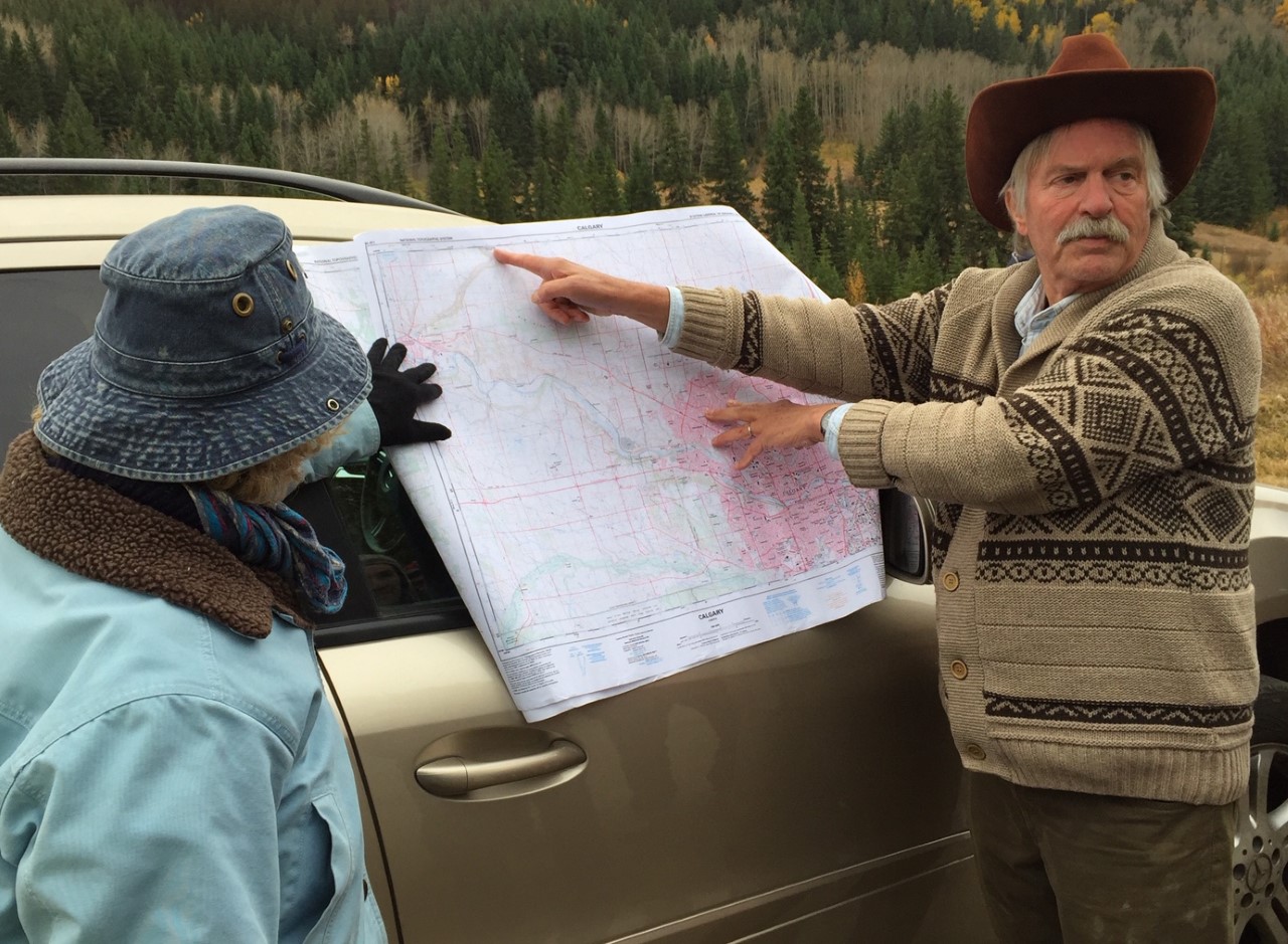
On October 9, Senior Petroleum Geologist Tako Koning led an expedition to the Cochrane and Lochend areas west of Calgary to explore the local magnificent glacial geology and also see a rapidly developing program of hydraulic fracking for oil in the area. He recounts:
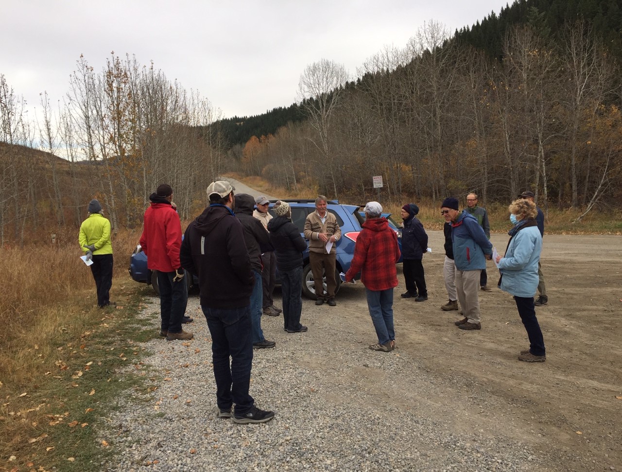
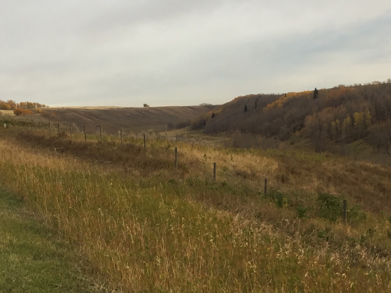
Friday, October 9th began cloudy and cold but we had a bit of sunshine by the time the field trip began at 1:30 PM, with 14 attendees including 2 children, in the parking lot of Cochrane Ranche in Cochrane. We headed north for a short distance up 4th Avenue to the southern terminus of the Big Hill Springs glacial meltwater channel, a deeply incised valley which continues 20 km northwards. The field trip leader Tako Koning discussed the area’s glacial geology and Vivian Pharis talked about the efforts of the Bighill Creek Preservation Society to protect the unique flora and fauna along Bill Hill Creek which is located within rapidly growing Cochrane.
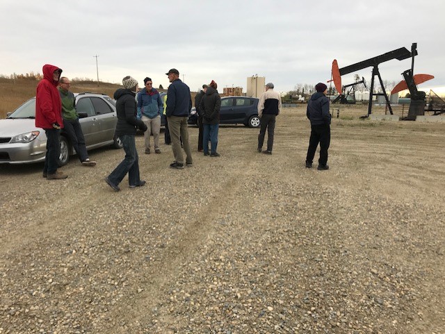
We proceeded to drive northeastwards and near Willow Creek, a community of acreages, we viewed from the road a pad with 7 pumpjacks which produce oil from the tight Cardium Formation sandstone. These wells consist of long-distance horizontal drain holes, drilled in multiple directions which have been hydraulically fractured. The oil production in the Lochend area has benefited the Alberta and local governments in terms of royalties and taxes and has created local oil field employment. However, in some cases the oil production has had worrisome environmental impacts for those living in nearby farms, acreages and homes.
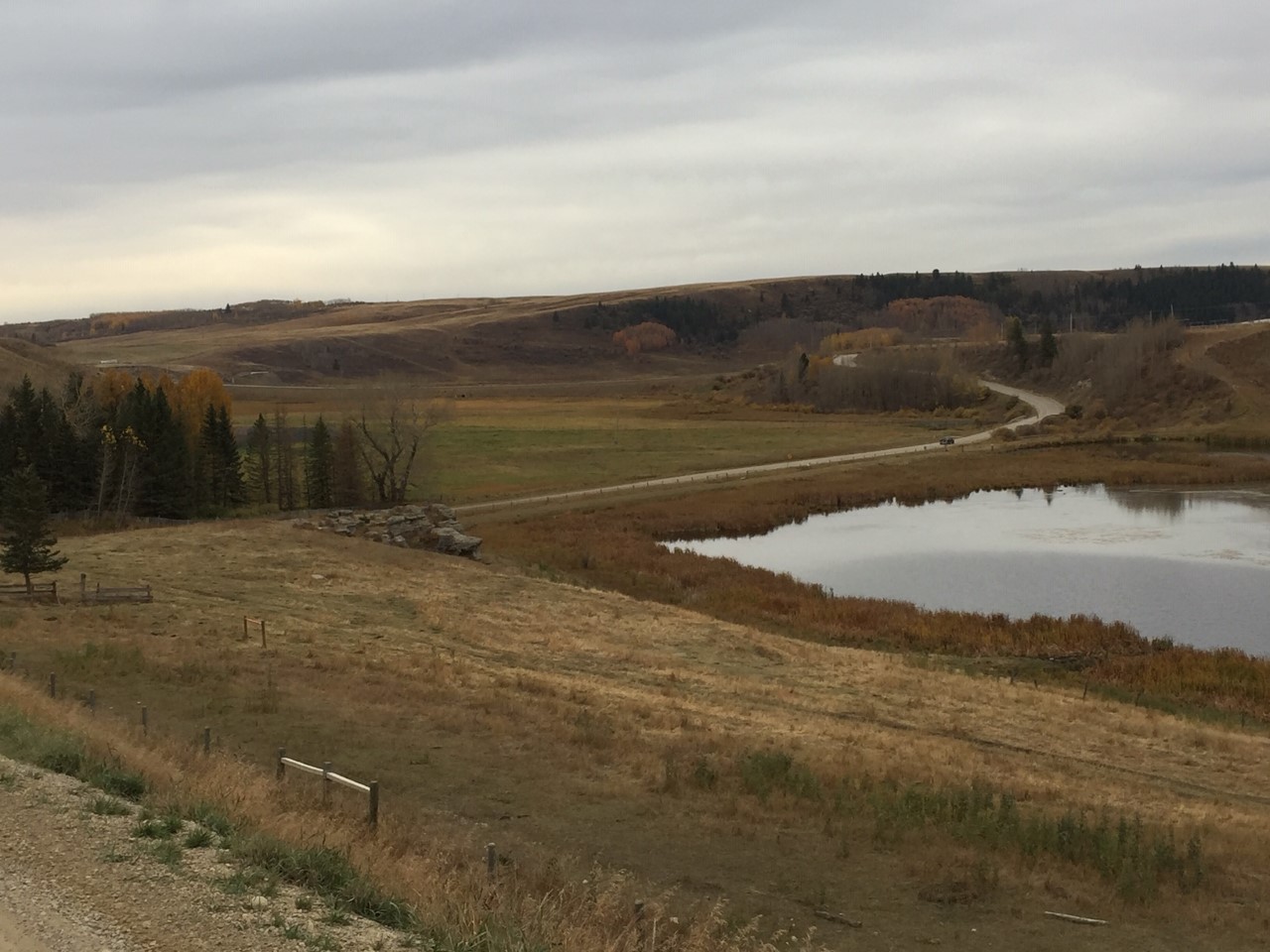
We then stopped outside of the entrance to the Glendale gravel pit. The Cochrane – Lochend area has thick glacial deposits rich in gravel. Major gravel quarrying is increasingly being carried out throughout the area and some residents are very concerned about its impact on the area.
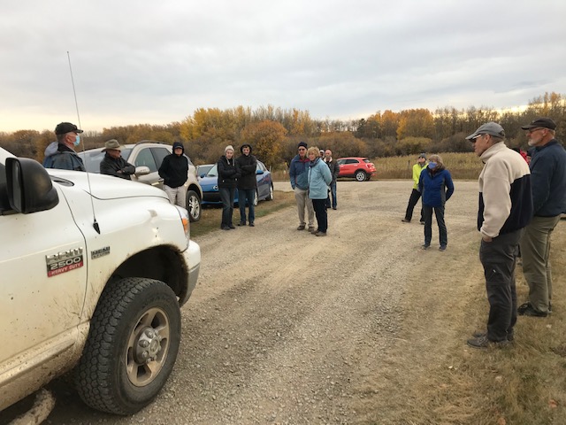
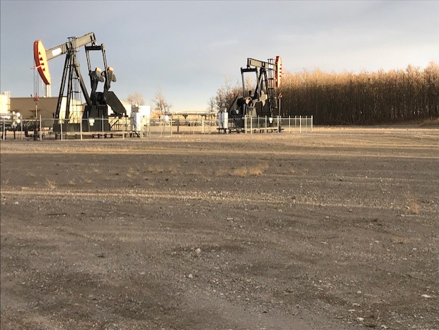
We also viewed a second well pad on the west side of Lochend Road where 4 wells produce from the hydraulically fractured Cardium. Howard Hawkwood, a farmer who has lived with his wife Nielle for forty years just east of Lochend Road (Highway 766), described to the group the negative impact of oil activities on their lives and on their farm. Heading northwards we saw another deeply incised melt water channel immediately south of the hamlet of Dog Pound. The field trip ended in the village of Westbrooke, located on Highway 22, also known as the Cowboy Trail, to view an oil production facility located on the eastern boundary of the village.